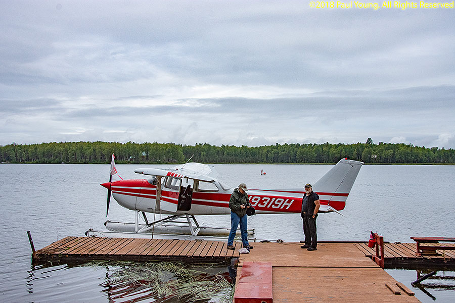
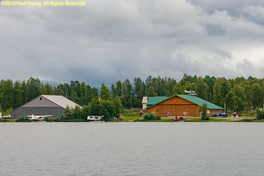
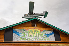
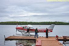
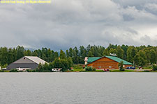
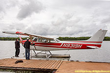
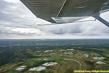
Beluga Lake Floatplane Flying
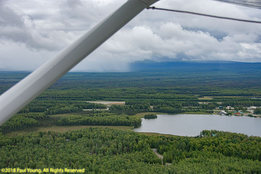
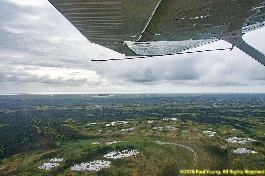
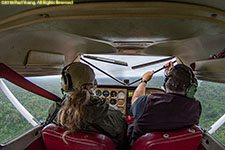
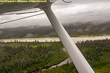
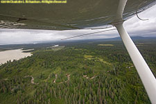
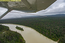
The second day of scheduled floatplane flying got weathered out completely. However, the ceilings were somewhat higher on the third day and we were able to get as far as the Beluga Lakes, though not over the pass to Lake George as we had hoped since the Knik Valley was solidly fogged in.

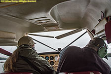
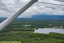
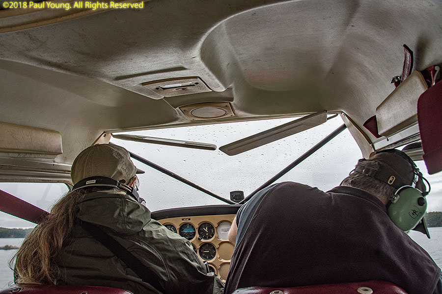
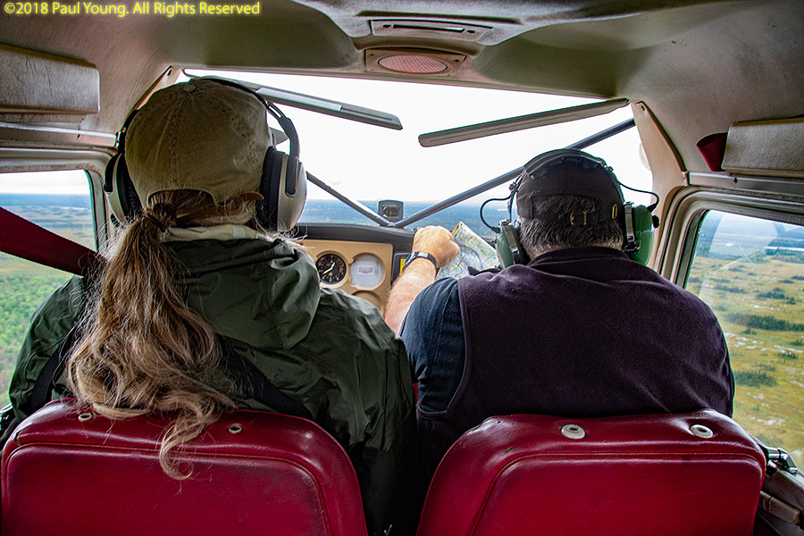
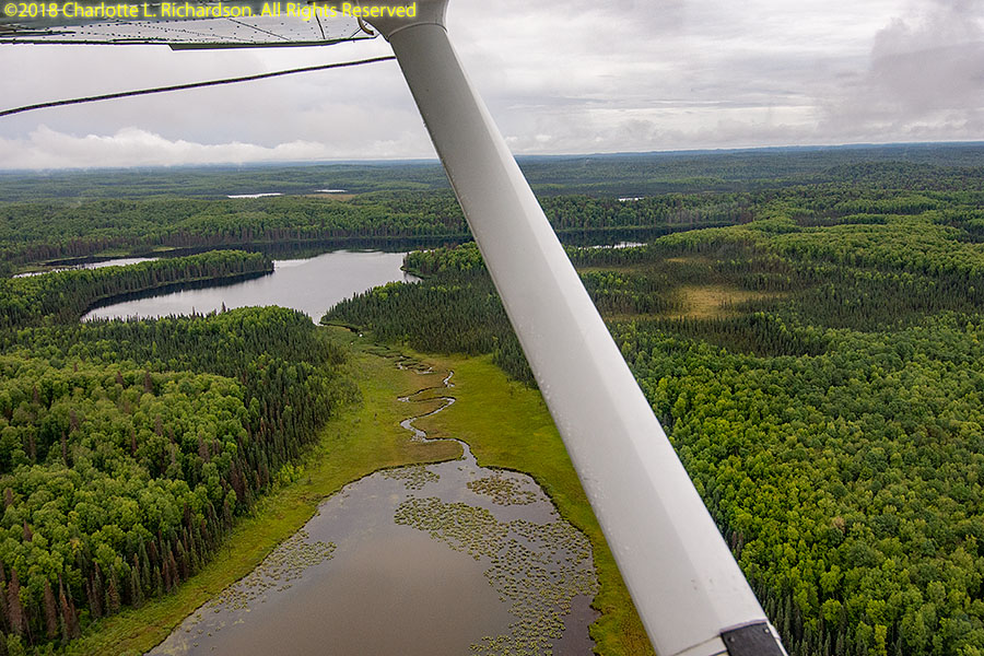
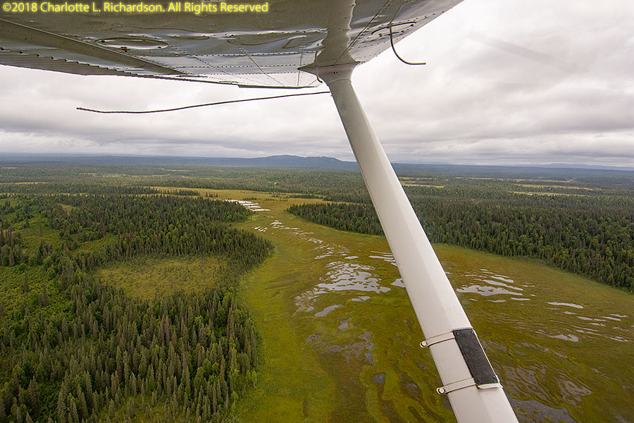
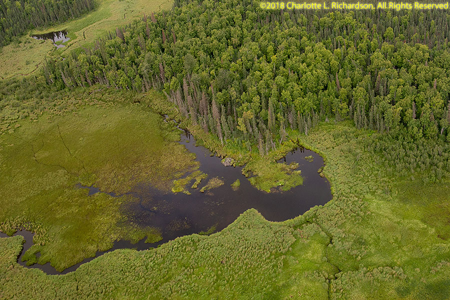
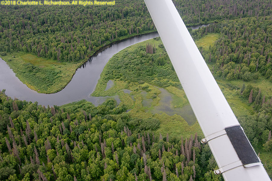
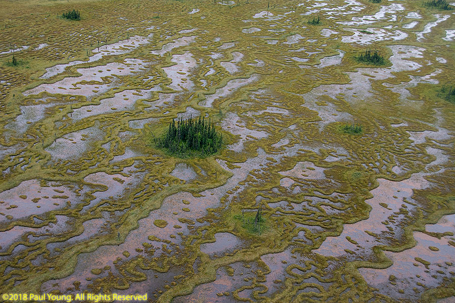
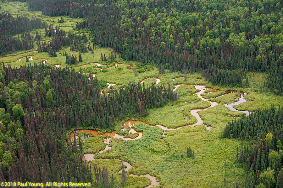
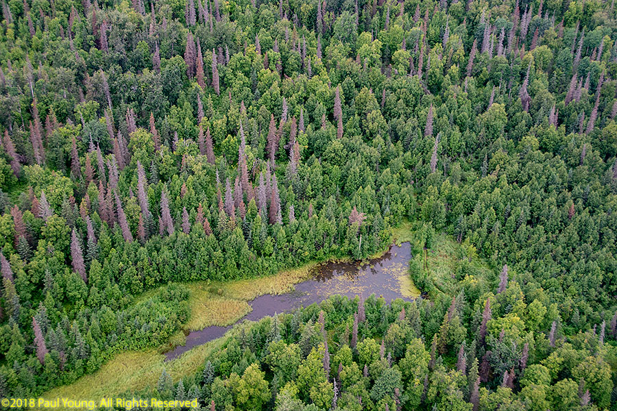
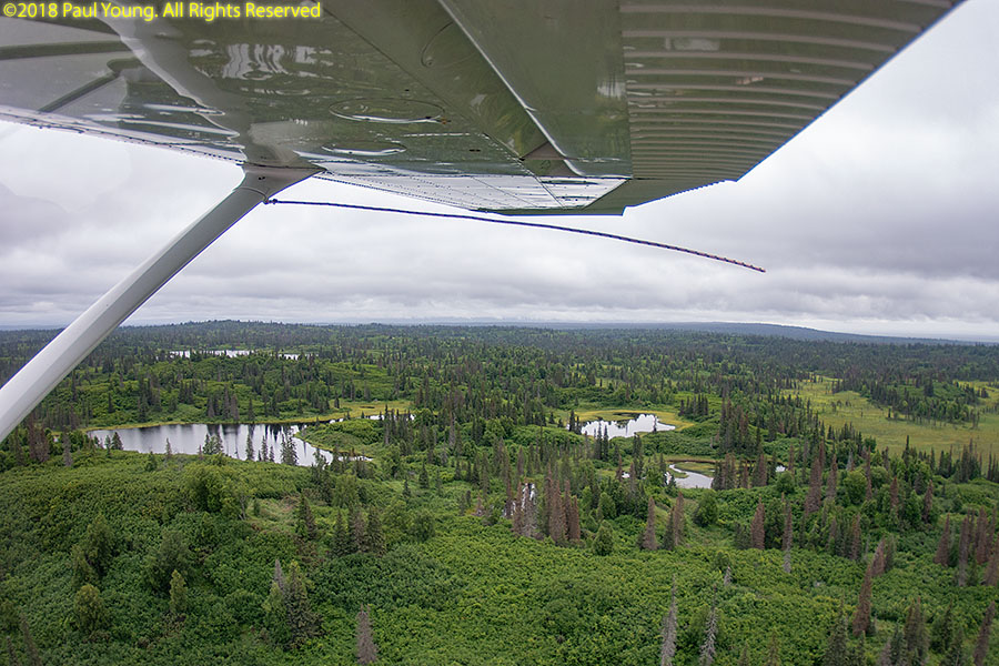
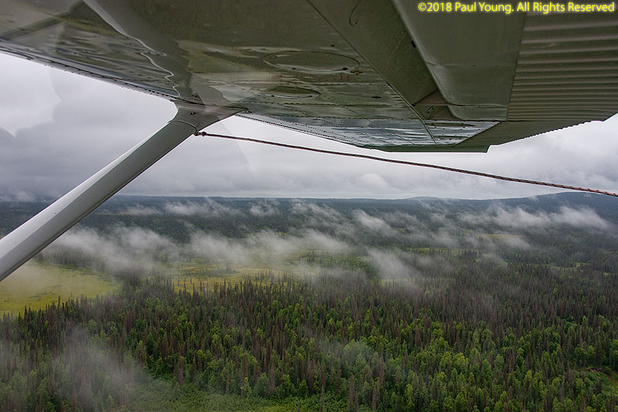
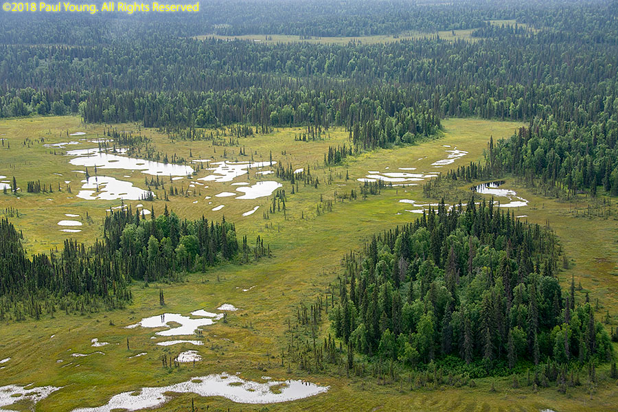
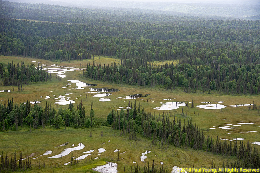
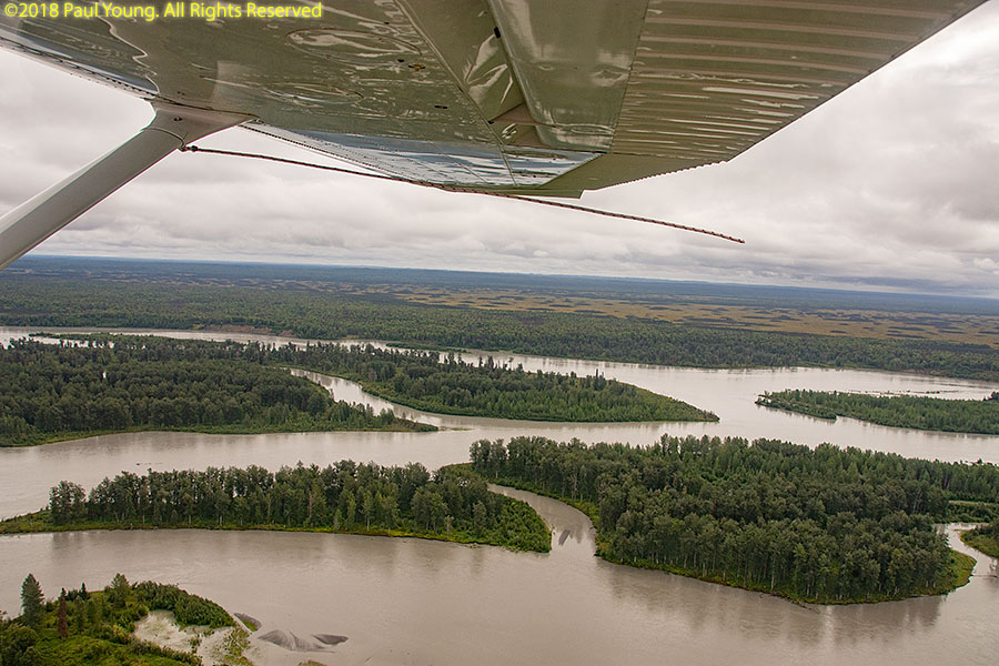
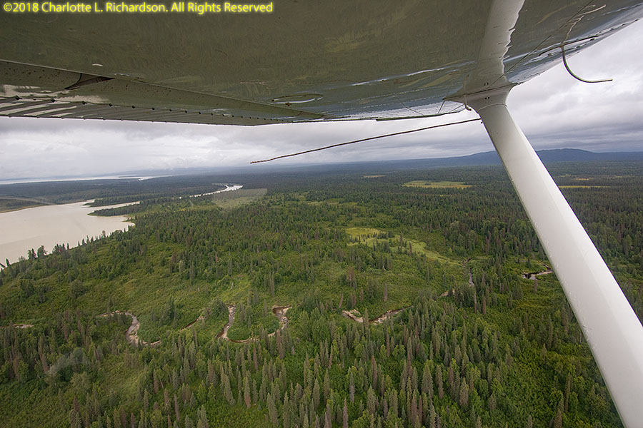
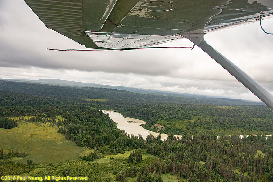
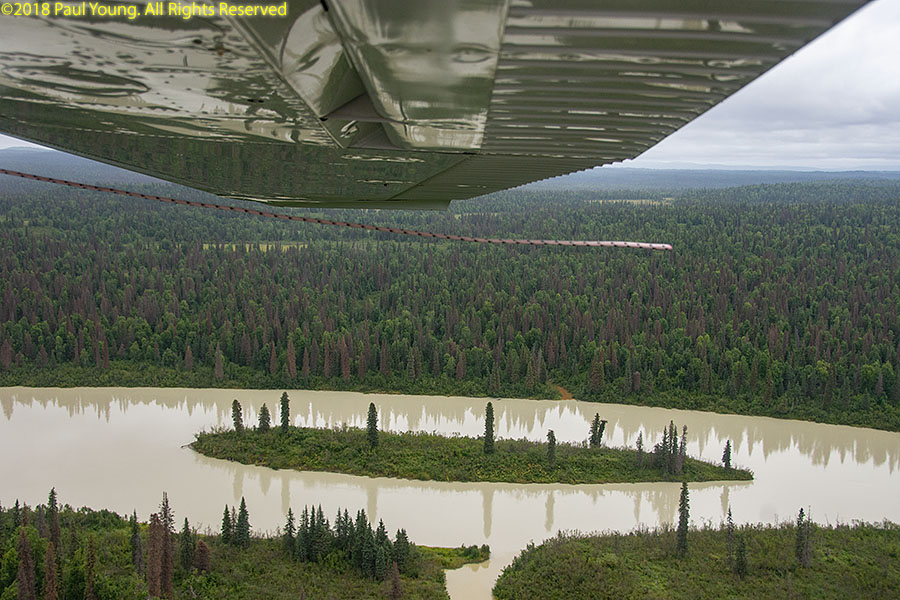
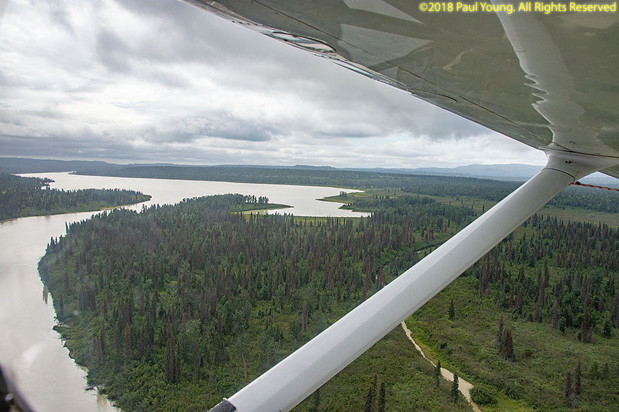
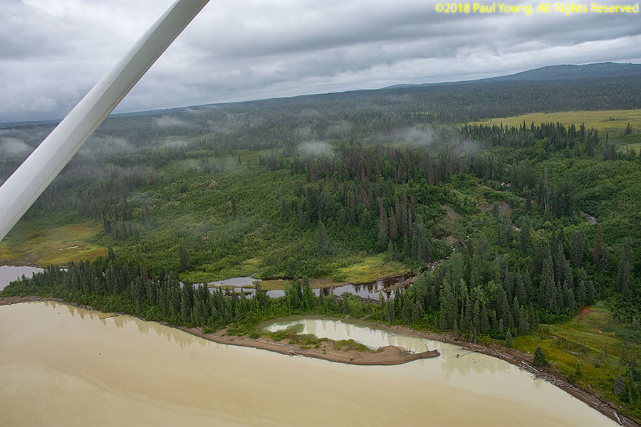
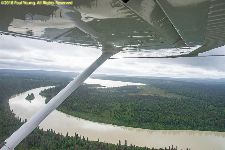
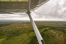
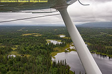
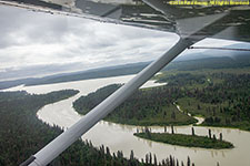
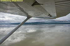
On route
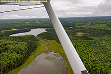

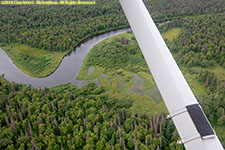
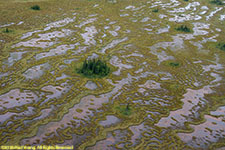


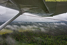
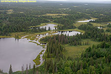

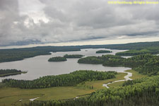

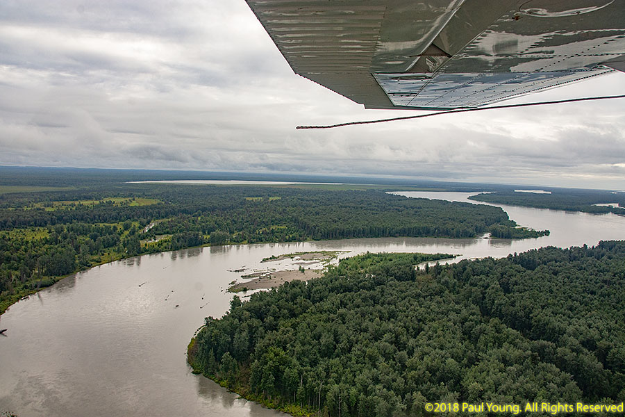
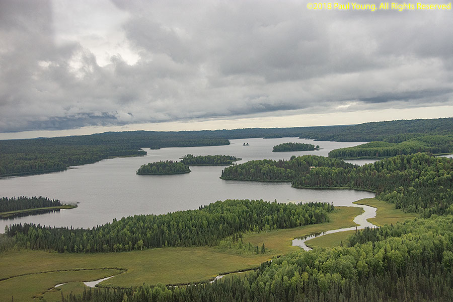
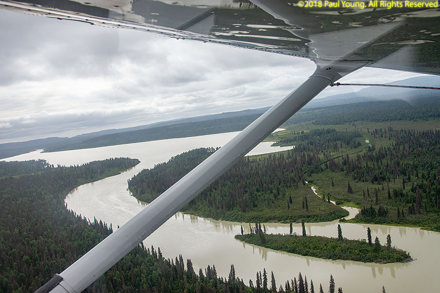
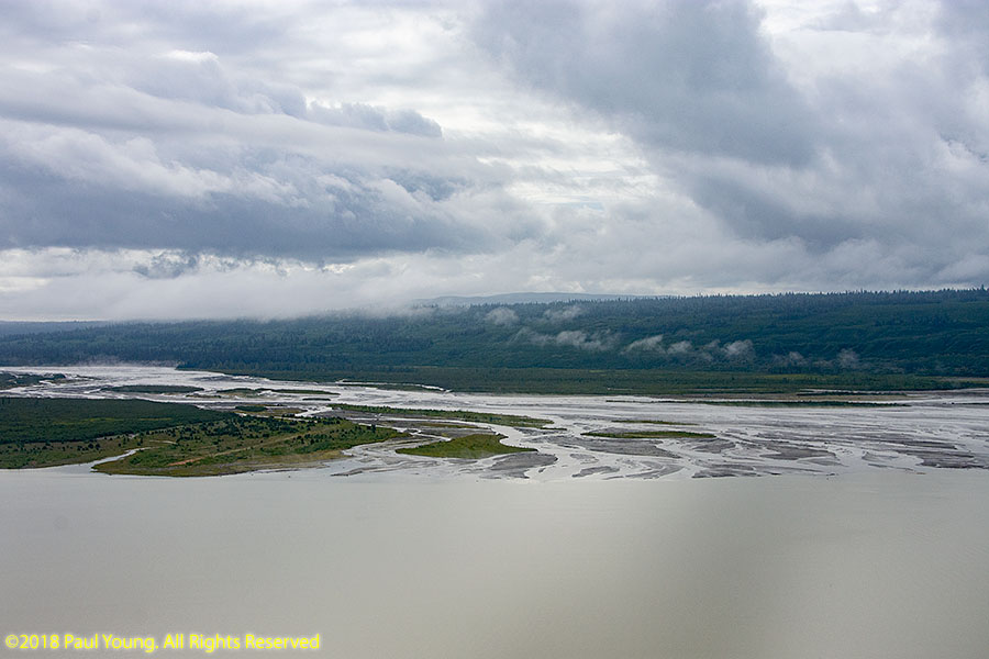
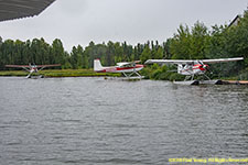
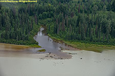
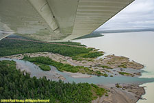
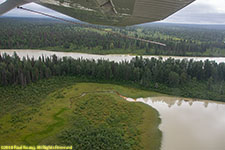
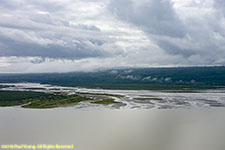
Beluga Lake and Lower Beluga Lake are fed by the glaciers of Mount Gerdine, west of Willow and west of Mount Susitna. The silty Beluga River empties into the Gampertz Channel of the Cook Inlet.
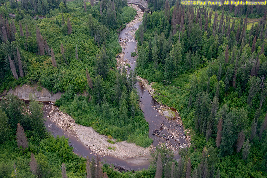
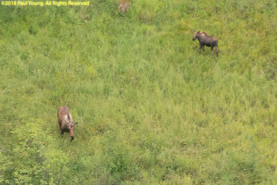
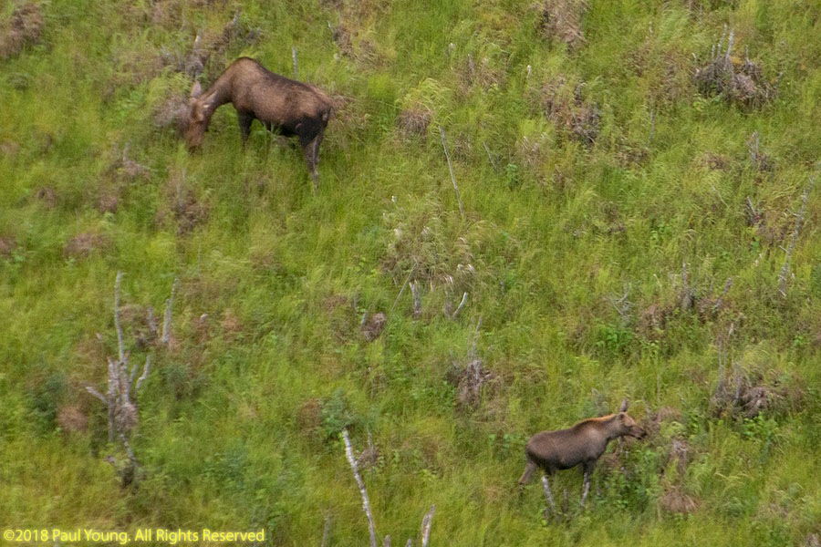
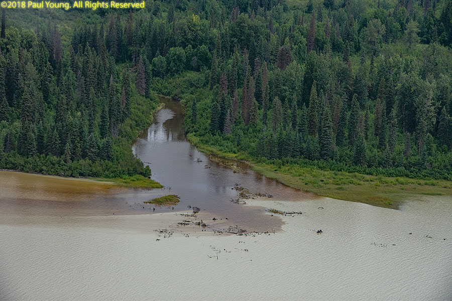
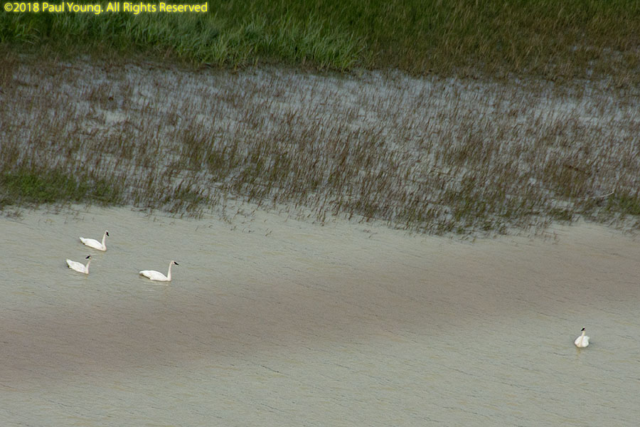
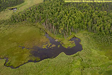
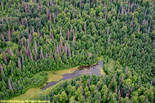
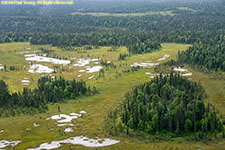
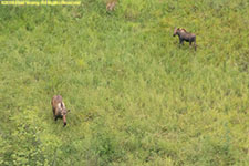
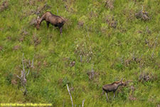
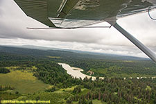
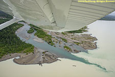
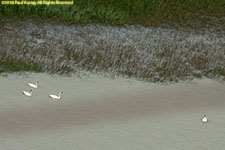
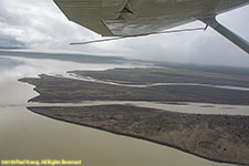
Lower Beluga Lake was very silty and appeared to be too shallow and with too much floating debris and tree snags to safely land on, so I didn't try it. Some of the streams entering the lake have very clear water, not full of glacial flour. We checked them for fishing bears, but did not spot any. We may have been a couple weeks early for the salmon run.
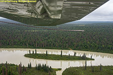

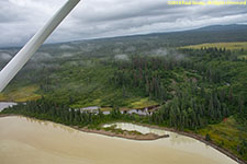

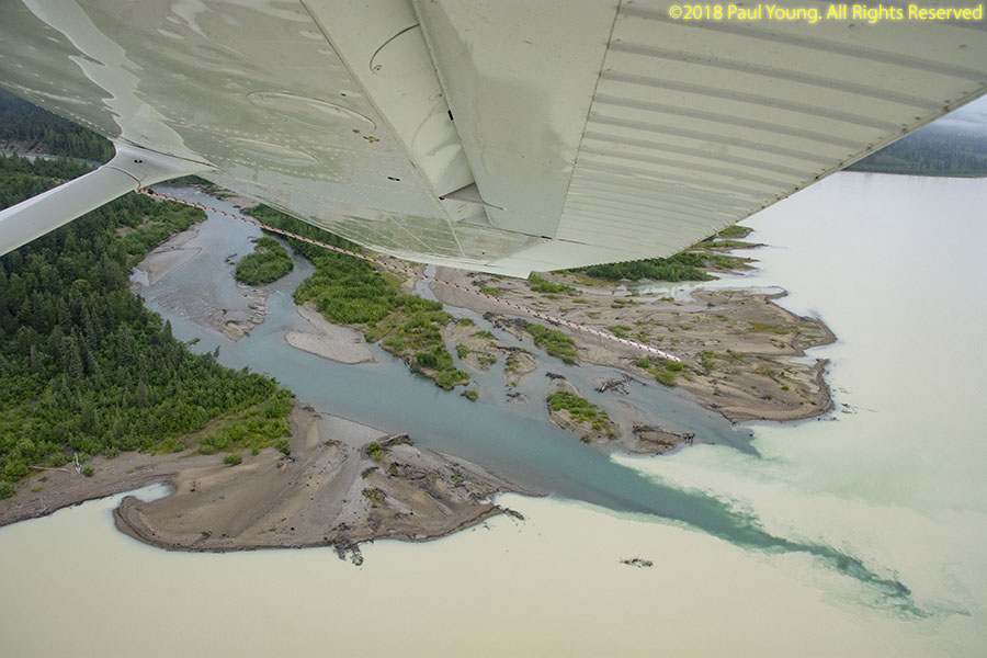
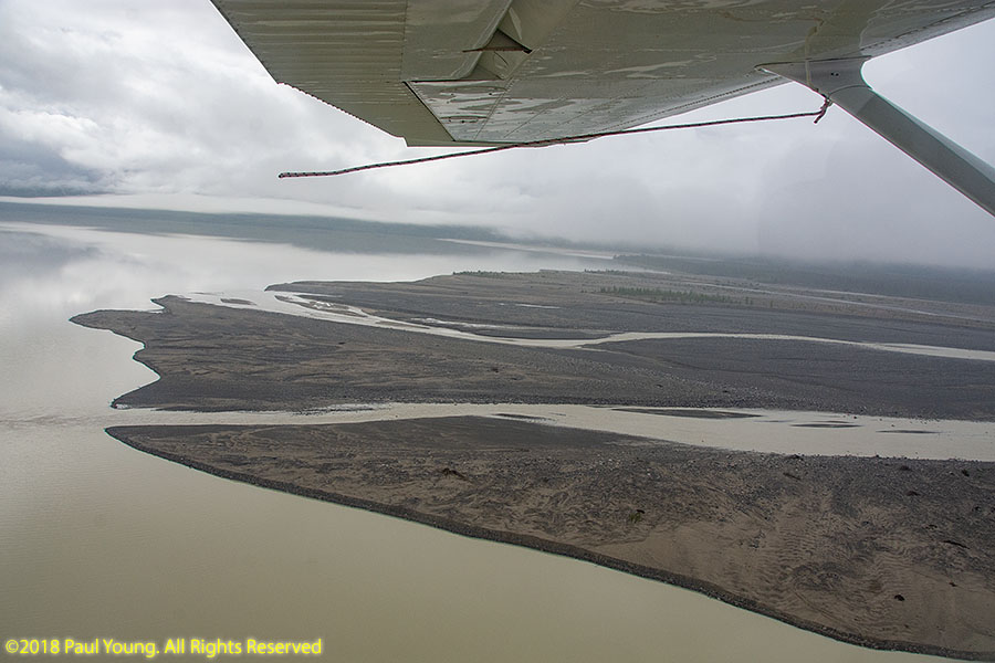
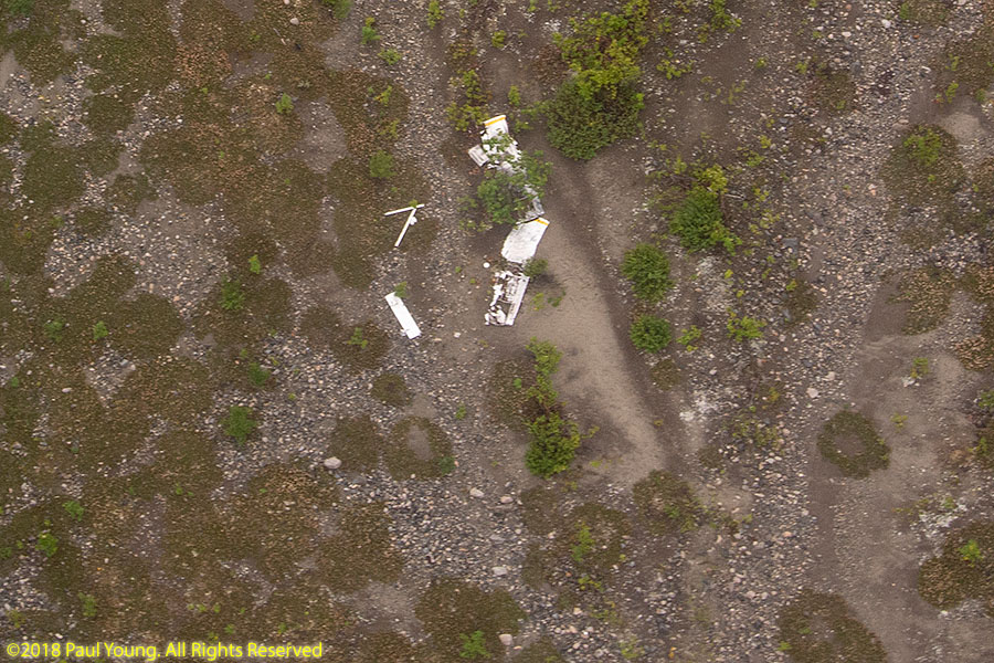
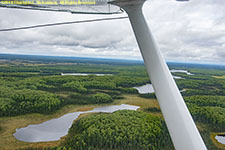
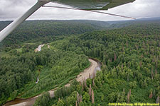
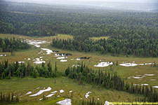
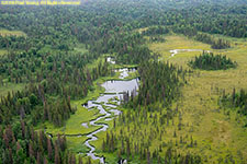
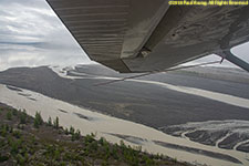
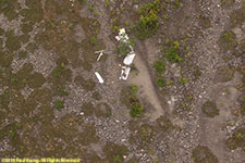
Upper Beluga Lake is obviously deeper. The glaciers that feed it were hidden by fog. The remains of a fatal airplane crash are still visible on the gravel bars where the silty glacial streams enter the lake.
Back
©2018 Mermaid Underwater Photographic. All Rights Reserved.
Contact us at mermaid@underwater.org.
Last modified 3 October 2018